Camping Near Route 66 in New Mexico: El Malpais and Cibola National Forest
Near Grants, Historic Route 66 passes El Malpais National Monument (NPS) and El Malpais National Conservation Area (BLM), with Cibola National Forest in the same region. The two El Malpais units have different camping rules. Use official maps, not a single pin.
🖨 Print this how-to One-page checklist, no ads.
Quick answer: El Malpais National Monument is National Park Service land and does not stand in for easy dispersed car camping; use official NPS pages for any backcountry permits or campgrounds. The adjoining BLM National Conservation Area and Cibola National Forest have their own dispersed and developed camping rules. Confirm which unit you are on before you park for the night.
Grants and Gallup are practical bases on the New Mexico alignment. The lava country is not a catch-all free campground.
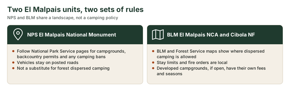
Start with the agency map
El Malpais National Monument is managed by the National Park Service. El Malpais National Conservation Area, next to it, is managed by BLM. Cibola National Forest is Forest Service land in the same part of western New Mexico. A pin that says "El Malpais" can land you in any of the three, with different rules.
What you can usually expect
On the monument, rely on the NPS El Malpais website for current camping, road and permit information rather than assuming dispersed car camping is open. On the NCA, use BLM stay limits and any local supplements. On Cibola, use the current forest motor-vehicle and camping guidance, including fire restrictions. Developed campgrounds, when open, are the surest legal option if you arrive late.
Towns and the road
The Historic Route 66 alignment through western New Mexico is a mix of I-40 frontage, old alignments and small towns. Overnight parking in town still follows city rules; see overnight parking along Route 66.
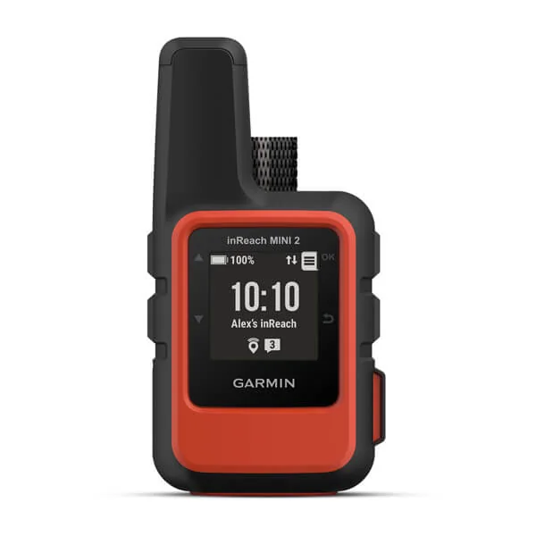
Garmin inReach Mini 2
A pocket satellite communicator for two-way messaging, location sharing and interactive SOS where there's no cell service.
- Messaging
- Two-way text via satellite
- Emergency
- Interactive SOS
- Navigation
- TracBack routing, digital compass
- Service
- Active satellite subscription required
Printable checklist: New Mexico 66
- Map shows whether you are on NPS, BLM or Forest Service land
- Current camping rule for that unit read
- Fire restrictions and stay limits checked
- Backup campground or motel in Grants or Gallup
- Water carried; this is dry country
Frequently asked questions
Can I disperse camp in El Malpais National Monument?
Only if the National Park Service currently allows it, and only where the official page says so. Do not copy BLM rules onto NPS land.
Is the NCA open to vehicles?
Only on designated or otherwise allowed roads. Wilderness and closed routes are not camping access.
Where do I get a current map?
NPS for the monument, BLM for the NCA and the Cibola National Forest maps page for forest land.