Joshua Tree South BLM (West of Cottonwood Springs Road)
This is the free BLM camping area west of Cottonwood Springs Road, just north of Interstate 10 and south of Joshua Tree National Park. It is one of the most popular overflow and boondocking areas when the park campgrounds fill, with open creosote desert and views toward the Orocopia Mountains.
The map pin marks a representative location inside the official NPS-mapped camping area west of the road. Follow the NPS map carefully: camping is allowed only in the highlighted sections, and not within 300 feet of roadways or on the Metropolitan Water District aqueduct berm that marks the park boundary.
Rules
Camp only inside the BLM dispersed camping areas shown on the National Park Service maps, except within 300 feet of roadways or where signs close an area to camping. The maps also show private land, where camping is not allowed. There are no restrooms, water or trash collection in these BLM dispersed areas. Pack out all trash and human waste. All vegetation, living or dead, is protected. A California campfire permit (free at readyforwildfire.org/permits or any BLM, Forest Service or CAL FIRE office) is required for campfires and stoves on federal land. Check current fire restrictions before you go.
Getting there
From I-10, take the Cottonwood Springs Road / Joshua Tree National Park south entrance exit (about 5 miles west of Chiriaco Summit). Turn north, then take an existing dirt track west of the road into the mapped BLM area. Stay off closed routes and the aqueduct berm.
Source
Details on this page come from NPS: Camping Outside of the Park (official south BLM map) and blm.gov, blm.gov. Rules, fees and road conditions change; confirm with the managing agency before you go.
Nearby spots
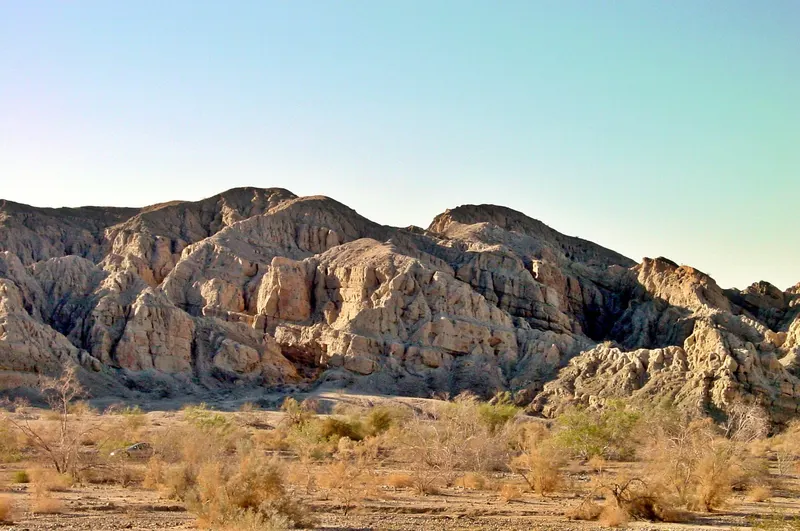
Joshua Tree South BLM (East of Cottonwood Springs Road)
The official NPS map also highlights a large BLM camping area east of Cottonwood Springs Road, north of I-10 and south of the park boundary. It is the other half of the well-known Joshua Tree South…
- Fee
- No fee and no permit for camping
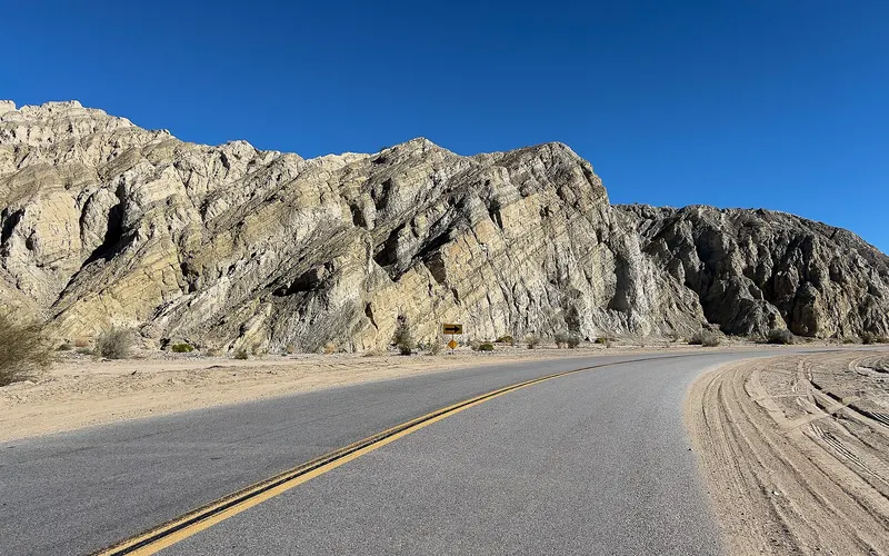
Mecca Hills and Box Canyon
Box Canyon Road (State Highway 195) runs between the Mecca Hills Wilderness and the Orocopia Mountains Wilderness southeast of Indio and Mecca. The surrounding Meccacopia Special Recreation…
- Fee
- No camping fee is listed for dispersed SRMA camping
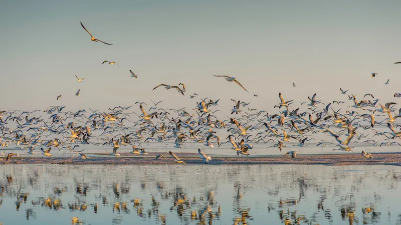
Salton Sea Headquarters Campground
Headquarters Campground is the developed hookup campground at Salton Sea State Recreation Area, on the northeast shore of California's largest lake, about 30 miles south of Indio via Highway 111. It…
- Fee
- Full or partial hookup campsite $30 per night