Sand Flats Recreation Area
Sand Flats is the fee area on the slickrock just east of Moab, home of the Slickrock Bike Trail and nearly 40 miles of OHV trails. The BLM guide lists 140 campsites and 6 group sites.
Campsites look out over sandstone domes and canyons with the La Sal Mountains behind. It is run by Grand County in partnership with the BLM, with an entrance station around 3000 Sand Flats Road.
Rules
Camp only in the numbered campsites. Fee area. Check current fire restrictions before you go.
Getting there
From Moab, follow Sand Flats Road east to the entrance station (about 3 miles from US 191).
Source
Details on this page come from Recreation.gov / Sand Flats Recreation Area and blm.gov. Rules, fees and road conditions change; confirm with the managing agency before you go.
Nearby spots
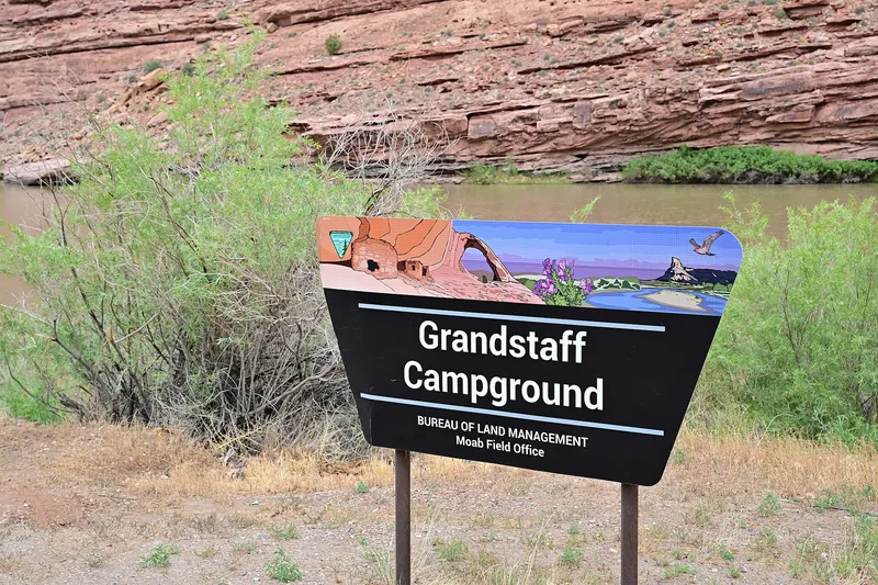
Grandstaff Campground
Grandstaff is a tents-only riverside campground 3 miles up Highway 128, with 16 sites facing the Colorado River and the cliffs of Arches National Park. It sits next to the Grandstaff Canyon trailhead…
- Fee
- $20 per site per night
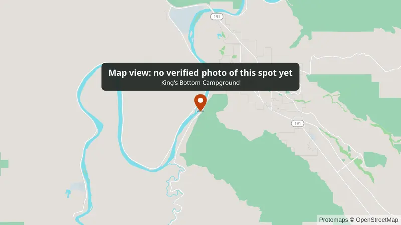
King's Bottom Campground
King's Bottom is on the Colorado River between massive canyon walls, just 2.8 miles out the Kane Creek Road from Moab. It has 21 to 23 sites (Recreation.gov and the BLM guide differ), 11 of them…
- Fee
- $20 per site per night
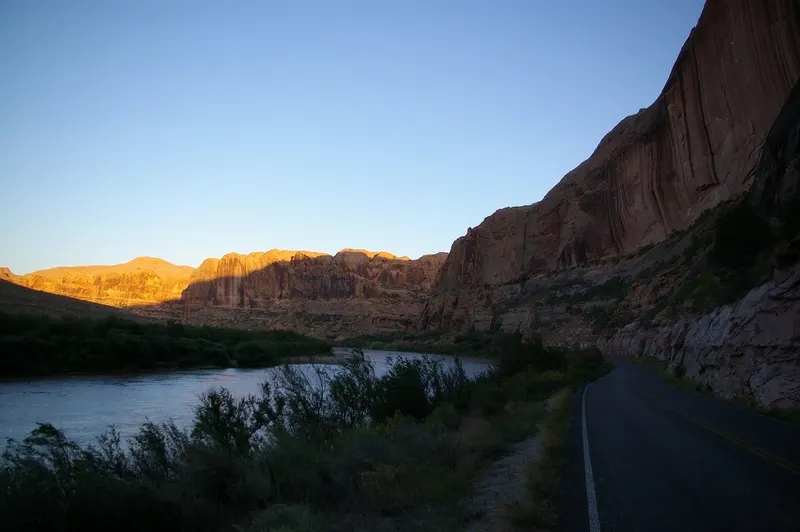
Goose Island Campground
Goose Island is the closest of the Colorado River campgrounds on Highway 128, 1.4 miles from US 191 on the north edge of Moab. Its 19 riverside sites (per the BLM guide) look across the river to the…
- Fee
- $20 per site per night