Wing Mountain Dispersed Camping
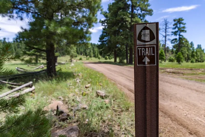
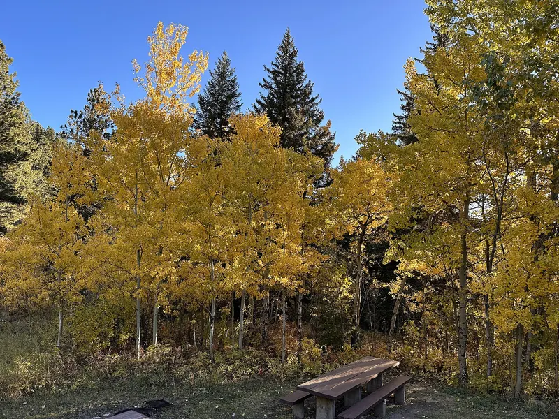
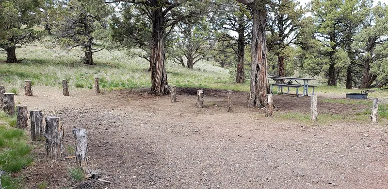
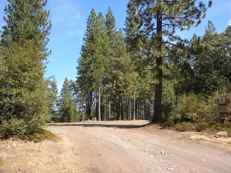
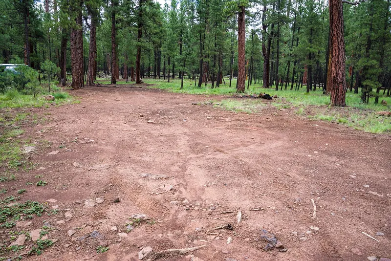
Wing Mountain, a cinder cone about six miles southwest of the San Francisco Peaks, is surrounded by level ponderosa pine forest at about 7,600 feet. Dispersed camping runs along most of Forest Road…
- Fee
- Free
No spots match these filters.
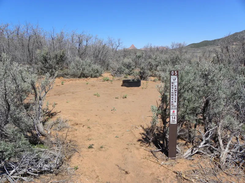
Ponderosa pine forest around Flagstaff, the San Francisco Peaks and the Mogollon Rim. A 14-day limit in any 30-day period applies forestwide.
Wing Mountain, a cinder cone about six miles southwest of the San Francisco Peaks, is surrounded by level ponderosa pine forest at about 7,600 feet. Dispersed camping runs along most of Forest Road…
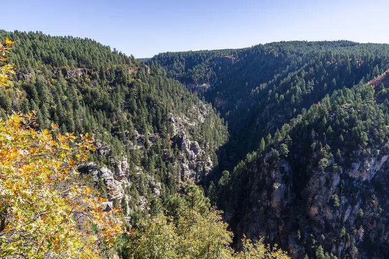
Pumphouse Wash is a popular dispersed camping area in ponderosa pine along SR 89A, about 11 miles south of Flagstaff and 18 miles north of Sedona, near the top of Oak Creek Canyon. Four loops hold 11…
Marshall Lake is a small, marshy lake about 12 miles southeast of Flagstaff, managed for waterfowl with Ducks Unlimited and the Arizona Game and Fish Department. In dry years it can temporarily…
Lake Powell's primitive camping areas. These charge a nightly fee, and entrance fees may apply.
Beehives is a small primitive campground with 21 designated sites just north of Glen Canyon Dam, across the highway from the Wahweap South Entrance near Page. Each site has a picnic table. There are…
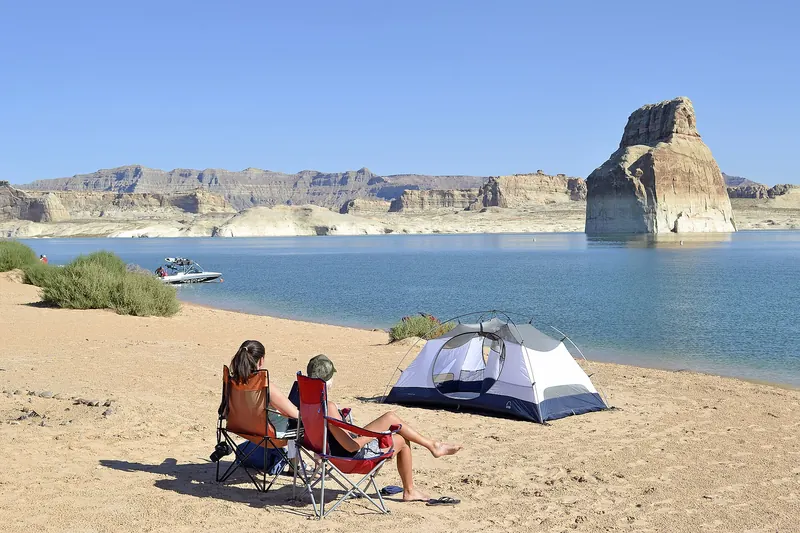
Lone Rock Beach sits just inside Utah on Lake Powell, right after the state line on U.S. 89 north of Glen Canyon Dam. Camping is primitive, on the sandy beach or in the dunes, with no designated…
Remote country north of the Grand Canyon, including Vermilion Cliffs National Monument.
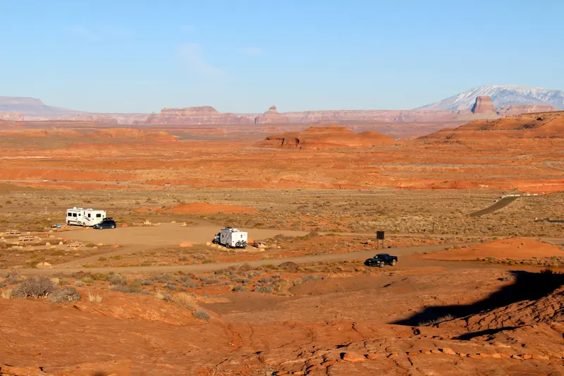
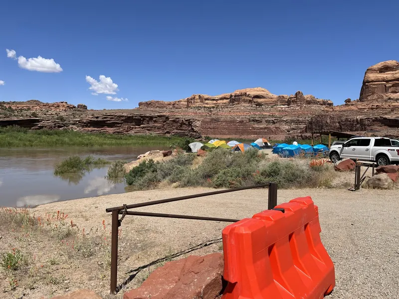
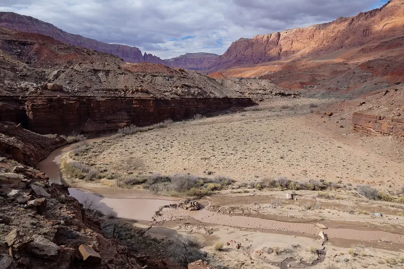
The 294,000-acre Vermilion Cliffs National Monument covers the Paria Plateau, Vermilion Cliffs, Coyote Buttes and Paria Canyon. California condors can sometimes be seen here. Dispersed camping is…
Camping inside Grand Canyon National Park is limited to designated park campgrounds and permitted backcountry sites, which charge a fee. The usual free option near the South Rim is dispersed camping on the Kaibab National Forest’s Tusayan Ranger District, subject to the forest’s stay limit and travel-management rules.
We have not added unnamed forest-road pins. The camps on the map are already-sourced sites we can document from official pages — including Coconino National Forest camps near Flagstaff, BLM land on the Arizona Strip, and primitive camps at Glen Canyon — and they are a longer drive from the rim. Use the official Kaibab pages and Motor Vehicle Use Map to choose a legal dispersed site closer to the park.
Dispersed camping is generally allowed on the Kaibab National Forest unless an area is posted or closed. On the Tusayan and Williams ranger districts, motor vehicles may be driven or parked up to 30 feet from the side of open system roads, unless otherwise posted. Use the district Motor Vehicle Use Map and pack out everything you bring.
Forest Order 03-07-26-01 limits camping to 14 days in any consecutive 30-day period on all Kaibab National Forest lands. The order is effective May 6, 2026, through May 6, 2028, unless it is rescinded or replaced. Confirm on the forest alerts page before you go.
This site only maps camps we have sourced from official pages with a documented location. We have not invented a pin for a forest road. The map shows the closest already-sourced camps, and the official Kaibab camping and MVUM pages are the right tools for a legal site next to the park.