Joshua Tree North BLM (Cascade and Reagan roads)
North of Highway 62, between Joshua Tree and Twentynine Palms, the National Park Service maps a specific BLM dispersed camping area east of Cascade Road, north of Broadway and south of Reagan Road. The area is surrounded by private property, so the official map matters more here than at the south entrance.
The map pin is at the center of the official NPS-mapped rectangle (also recorded on OpenStreetMap as Joshua Tree North Dispersed Camping Area). Camp only inside that rectangle, at least 300 feet from roadways, and not on the private land around it.
Rules
Camp only inside the BLM dispersed camping areas shown on the National Park Service maps, except within 300 feet of roadways or where signs close an area to camping. The maps also show private land, where camping is not allowed. There are no restrooms, water or trash collection in these BLM dispersed areas. Pack out all trash and human waste. All vegetation, living or dead, is protected. A California campfire permit (free at readyforwildfire.org/permits or any BLM, Forest Service or CAL FIRE office) is required for campfires and stoves on federal land. Check current fire restrictions before you go. The NPS page links to the BLM Barstow Field Office for this northern area.
Getting there
From Highway 62, go north on Sunfair Road or Cascade Road to Broadway, then continue north of Broadway on the unpaved extension of Cascade Road toward Reagan Road. The camping area is east of Cascade and south of Reagan. Do not camp on surrounding private parcels.
Source
Details on this page come from NPS: Camping Outside of the Park (official north BLM map) and blm.gov. Rules, fees and road conditions change; confirm with the managing agency before you go.
Nearby spots
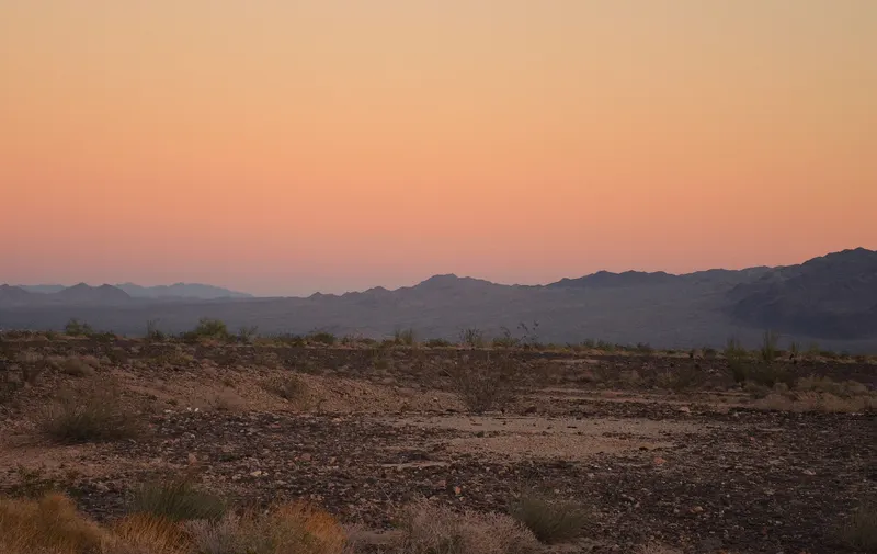
Joshua Tree South BLM (West of Cottonwood Springs Road)
This is the free BLM camping area west of Cottonwood Springs Road, just north of Interstate 10 and south of Joshua Tree National Park. It is one of the most popular overflow and boondocking areas…
- Fee
- No fee and no permit for camping
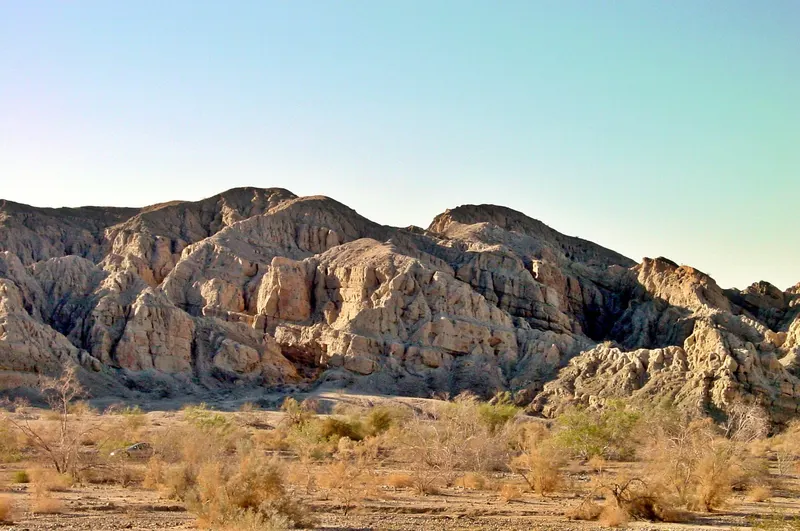
Joshua Tree South BLM (East of Cottonwood Springs Road)
The official NPS map also highlights a large BLM camping area east of Cottonwood Springs Road, north of I-10 and south of the park boundary. It is the other half of the well-known Joshua Tree South…
- Fee
- No fee and no permit for camping
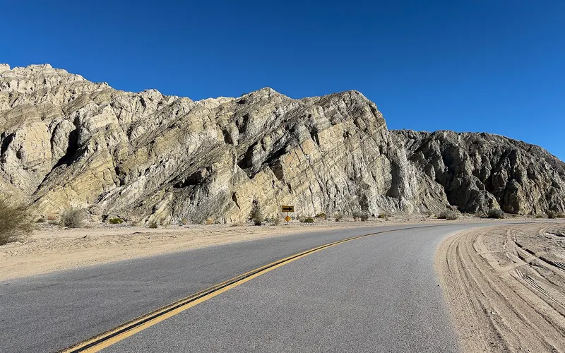
Mecca Hills and Box Canyon
Box Canyon Road (State Highway 195) runs between the Mecca Hills Wilderness and the Orocopia Mountains Wilderness southeast of Indio and Mecca. The surrounding Meccacopia Special Recreation…
- Fee
- No camping fee is listed for dispersed SRMA camping